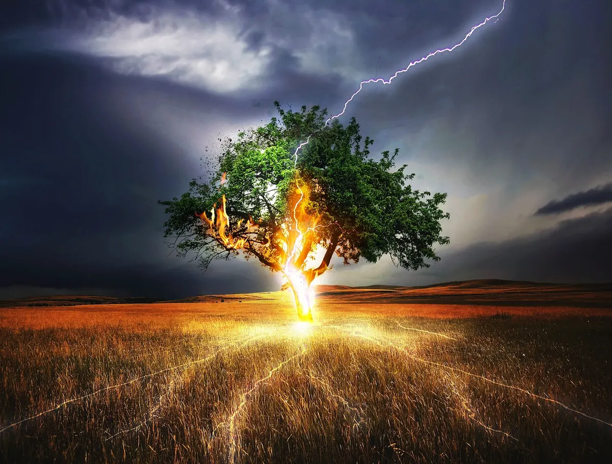

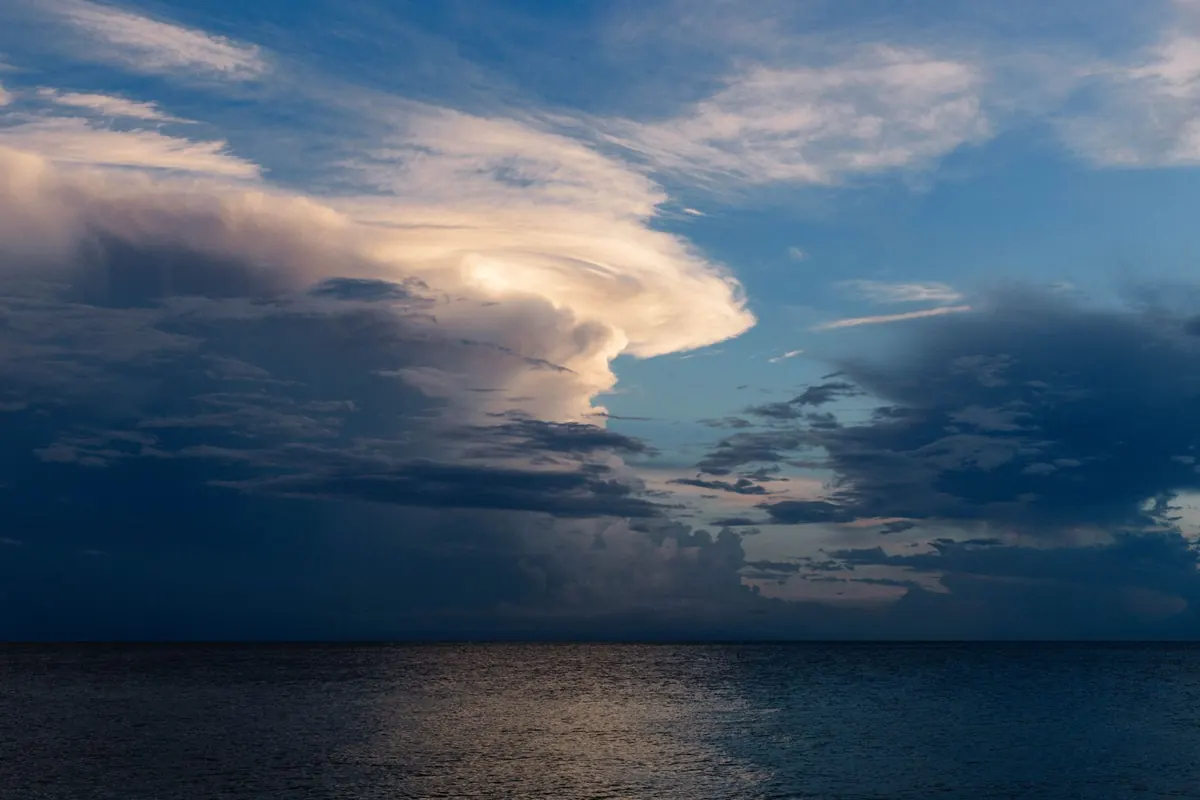
When a storm gets a name, the whole conversation changes. A line on a weather chart becomes Bert, or Éowyn, or whatever comes next on the list, and people who would never normally read a forecast start working out when it will reach their street. That is exactly the point.
The naming system used in the UK and Ireland is not theatrical. It is a communication tool, built to make the genuinely serious warnings stand out from the ordinary gales of an Atlantic autumn and winter. Understanding how the list is put together, and what a named storm actually means for you, makes it far easier to prepare sensibly.
Where the names come from
Storm naming for the UK and Ireland is run jointly by the Met Office and Met Éireann, and since 2019 the Dutch national weather service, KNMI, has been part of the group. The names are not dreamt up by forecasters in a back room. Members of the public send in suggestions — thousands of them each year — and a panel picks the ones that will be used.
The list runs alphabetically from A to W, alternating between male and female names, and it starts afresh each September, at the beginning of meteorological autumn. That is roughly when the most vigorous Atlantic low-pressure systems begin arriving. One name per letter, in order, until the season ends in late August or the list runs out. In practice, most seasons never get close to the end of it.
The letters that never appear
Q, U, X, Y and Z are left off the list. That keeps the UK and Ireland in step with the convention followed by the US National Hurricane Center, which avoids those letters because so few names begin with them. It also means you will never be asked to take a warning about Storm Xerxes seriously.
Names are chosen to reflect the mix of people across the three countries taking part, and the panel looks for names that are easy to say, spell and remember. There is no hidden meaning in them. A name is a label, nothing more.
Why some storms are named and others are not
A low-pressure system gets a name when forecasters expect it to have a medium or high impact — in practice, when there is the potential for an amber or red warning somewhere in the UK, Ireland or the Netherlands. Wind is only part of the story. A slow-moving system that tips a month's rain onto already saturated ground can be named just as readily as a fast, gusty one, and heavy snow or ice counts too.
So an ordinary blustery day, however miserable, will not be named. And a storm that has already been named elsewhere keeps that name when it reaches us. The remnants of Atlantic hurricanes sometimes arrive here still carrying the name they were given in the Caribbean or the United States, and the same applies to systems named by other European weather services. You will not see the same storm renamed halfway across the ocean.
What a named storm means for you
A name is a signal to pay attention. It is not, by itself, a measure of how bad the weather will be. A named storm can pass with less disruption than forecast, and an unnamed one can still cause serious flooding.
What matters is the warning that comes with it. The Met Office uses a three-colour scale: yellow means be aware, amber means be prepared, and red means take action. Named storms usually arrive with an amber or red warning somewhere along their track, and those warnings are worth reading properly rather than skimming. They set out the areas affected, the timing, and the specific hazards involved — flying debris, coastal flooding, impassable roads, power cuts.
Naming also sets practical machinery in motion behind the scenes. Transport operators, councils, the emergency services and electricity network operators all work to the same reference point, which makes it easier to coordinate road closures, gritting, repairs and public messages.
Getting ready before the wind arrives
Most of the preparation is straightforward, and best done on a calm afternoon rather than in the middle of a warning. Start here:
- Check your flood risk and sign up for free flood warnings from the Environment Agency in England, Natural Resources Wales, SEPA in Scotland or DAERA in Northern Ireland.
- Put together a small kit: torches, spare batteries, a power bank, prescription medicines, bottled water, food that does not need cooking, and pet food.
- Secure anything loose outside — bins, garden furniture, trampolines, plant pots, hanging baskets.
- Find your stopcock, fuse box and gas meter now, so you are not hunting for them by torchlight.
- Charge phones and laptops, and keep the car topped up with fuel or charge.
- Check on neighbours who live alone, or who rely on electrical medical equipment.
- Keep a battery or wind-up radio. In a power cut, broadband and mobile signal can go down with the electricity, and 105 is the number for reporting a power cut in Great Britain.
If you live somewhere that floods, move documents and valuables upstairs while it is still dry, and keep your insurance details somewhere you can reach them quickly.
Staying safe while it blows through
Once the storm arrives, the safest place is indoors and away from windows. Avoid the coast, parks and woodland. Falling branches and flying debris cause a great deal of the injury in UK storms, and waves breaking over a seafront are far more dangerous than they look from a car park.
Do not drive unless you really have to. If you meet flood water, turn around — it is often deeper and faster-flowing than it appears, and even shallow moving water can take a car off the road. Keep 999 for genuine emergencies. Never approach or touch a fallen power line, or a cable brought down by a branch; report it to the network operator and stay well back.
If the power goes off, use torches rather than candles. Never bring a camping stove or barbecue indoors, including into a garage or shed — the carbon monoxide they produce can kill.
Once the wind drops
Check on neighbours, and photograph any damage before you start clearing up, which makes an insurance claim much easier to support. Do not use electrical equipment that has been under water until a qualified electrician has checked it. For anything involving a claim, a repair or structural damage, take proper professional advice rather than guessing.
Making the name work for you
A storm name is only useful if it changes what you do. When the next one is announced, the response does not need to be dramatic: read the warning for your area, charge your phone, move what you can out of the garden, check on someone who might need a hand, and plan to stay put. That is what the naming system was built for — and it takes far less effort than clearing up afterwards.
Photo: Josh Sorenson / Pexels